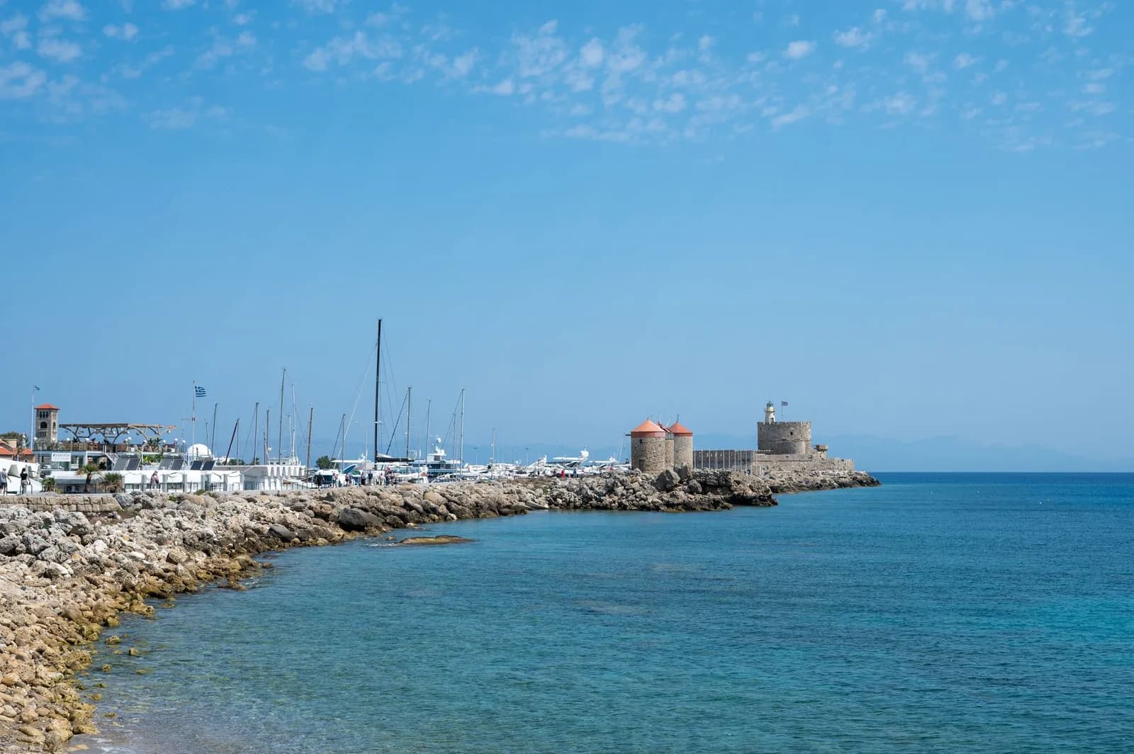
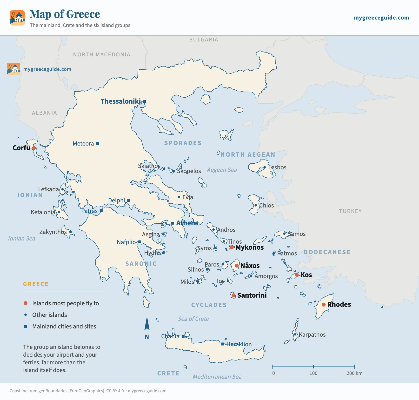
Greece map: the islands, Athens and the mainland
Greece has around 6,000 islands and 227 of them are inhabited, which is why a name on a booking page tells you almost nothing about where you are going. These maps place them.
Most maps of Greece are either a satellite tile you cannot read at a glance, or a postcard with six islands on it. Ours are drawn from real coordinates and labelled in English, one place at a time.
The country splits into groups that behave very differently. The Cyclades are the white and blue ones, close together, easy to hop between. The Dodecanese run down the Turkish coast and include Rhodes and Kos. The Ionians sit on the other side of the country entirely, greener and wetter, and reached from different airports.
Then there is the part of Greece that is not an island at all. The Peloponnese hangs off the mainland an hour west of Athens and holds Mycenae, Olympia, Epidaurus and Mystras. It is the one region here you read as a road rather than as a timetable. At the other end of the country, the three fingers of Halkidiki have no airport of their own, and the road to them starts at Thessaloniki airport.
The other coast
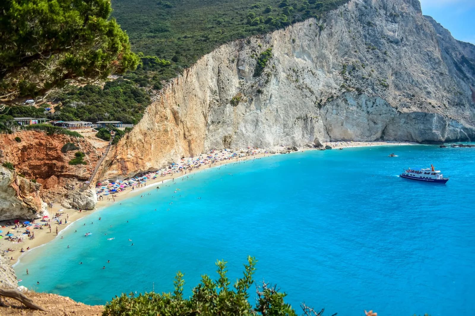
The country
Maps by place
- Athens Map: City Centre, Metro Lines and the PortWhere the Acropolis, Plaka, Monastiraki, Syntagma, Piraeus and the airport sit against each other, with metro lines and travel times.
- Corfu Map: Where the Resorts and the Town AreWhere Paleokastritsa, Sidari, Kavos, the airport and the ferry port sit on Corfu, on clear English maps, with travel times and a plan of the old town.
- Crete Map: Where Everything Is, and How Far ApartWhere Chania, Rethymno, Heraklion and the east sit on Crete, on clear English maps, with real driving times between the towns, beaches and sites.
- Greek Islands Map: The Six Groups ExplainedA map of the Greek islands with all six groups placed: Cyclades, Ionian, Dodecanese, Sporades, North Aegean and Saronic, and how you reach each one.
- Ionian Islands Map: The Chain and the Ways InA map of the Ionian islands that opens the frame as far as Venice, because this is the one Greek archipelago you reach by road and by boat from Italy.
- Kefalonia Map: Where Everything Is on the IslandWhere Argostoli, Sami, Fiskardo, Myrtos, Melissani and Assos sit on Kefalonia, on a clear English map, with the real driving times between them.
- Map of Kos: Towns, Beaches, Airport and BodrumWhere Kos Town, Tigaki, Kardamena, Kefalos and the airport sit on the island, on clear English maps, with driving and cycling times between them.
- Map of the Cyclades: Islands and the Boats BetweenA map of the Cyclades that shows the ferry links island to island, not just where each one sits, with crossing times and how often the boats run.
- Map of the Dodecanese: The Islands and TurkeyA map of the Dodecanese that draws the boats to Turkey as well as the islands, with crossing distances, sailing times and what the border costs you.
- Milos Map: The Beaches, the Boats and KleftikoWhere the beaches, the ports and Kleftiko sit on Milos, on a clear English map, with which beach has a road to it and which one only a boat can reach.
- Mykonos Map: The Beaches, the Buses and DelosWhere the beaches, the two bus stations and the ports sit on Mykonos, on a clear English map, with which beach has a bus and which has nothing at all.
- Naxos Greece Map: Beaches, Chora and VillagesWhere Naxos Chora, the west coast beaches and the mountain villages sit on the island, on a clear English map, with the real driving times between them.
- Paros Map: Parikia, Naoussa and the BeachesWhere Parikia, Naoussa, the beaches and Antiparos sit on Paros, on a clear English map, with the real driving times between them.
- Peloponnese Map: The Loop from Athens, and What Is On ItA map of the Peloponnese drawn around the drive from Athens: Corinth, Mycenae, Nafplio, Epidaurus, Mystras and Olympia, with real distances and driving times.
- Rhodes Map: Where to Stay, Old Town and LindosWhere the resorts, the Old Town and Lindos sit on Rhodes, on clear English maps, with driving times between them and what each part suits.
- Santorini Greece Map: Caldera Side or BeachesWhere Oia, Fira, Kamari and Perissa sit on Santorini, on a clear map with the caldera rim marked, plus travel times from the airport and the ferry port.
- Zakynthos Map (Zante): Where Everything IsWhere Laganas, Tsilivi, Navagio and the Blue Caves sit on Zakynthos, on a clear English map of Zante, with driving times and which coast suits you.
Questions people ask about the map of Greece
What is the nicest part of Greece to visit?
Four answers, and the map decides which one suits you. The Cyclades are the postcard: white villages, bare hills, ferries every couple of hours between Santorini, Naxos, Paros and Milos. Crete is a country of its own, 260 km long, with Minoan palaces, gorges and the longest swimming season. The Peloponnese is the one to drive, with Mycenae, Olympia, Nafplio and Monemvasia inside a week. The Ionian, on the west coast, is green, rainy and Venetian, and nothing like the other three.
Where is Greece on a map of Europe?
At the south-eastern tip of the Balkan peninsula, between 34 and 41 degrees north, so the country spans the same range of latitude as Sicily down to the coast of Tunisia. It borders Albania, North Macedonia and Bulgaria to the north and Turkey to the north-east, with the Aegean on its east side, the Ionian Sea on its west and the open Mediterranean south of Crete. Athens sits at 38 degrees north, closer to Istanbul than to Rome.
What are the main cities in Greece?
Athens dominates: about a third of the country's ten million people live in its urban area. Thessaloniki in the north is the second city, roughly a million with its suburbs, and the gateway to Halkidiki and the mainland north. After that the drop is steep. Patras on the Gulf of Corinth is the ferry port for Italy, Heraklion is the capital of Crete, and Larissa, Volos and Ioannina are the mainland towns you pass through rather than fly into.
Where is the Peloponnese?
The large peninsula hanging off the south of the mainland, immediately west of Athens. It has been technically an island since 1893, when the Corinth canal cut through the 6 km isthmus that joined it, and it is crossed by a motorway bridge and the canal bridges. It is not an island in any practical sense: Nafplio is two hours from Athens by car, Olympia four, and no ferry is involved. Most of what people picture as ancient Greece, Mycenae, Olympia, Epidaurus and Sparta, is on it.
